Engineering
East Norfolk Drainage Study
Project Overview:
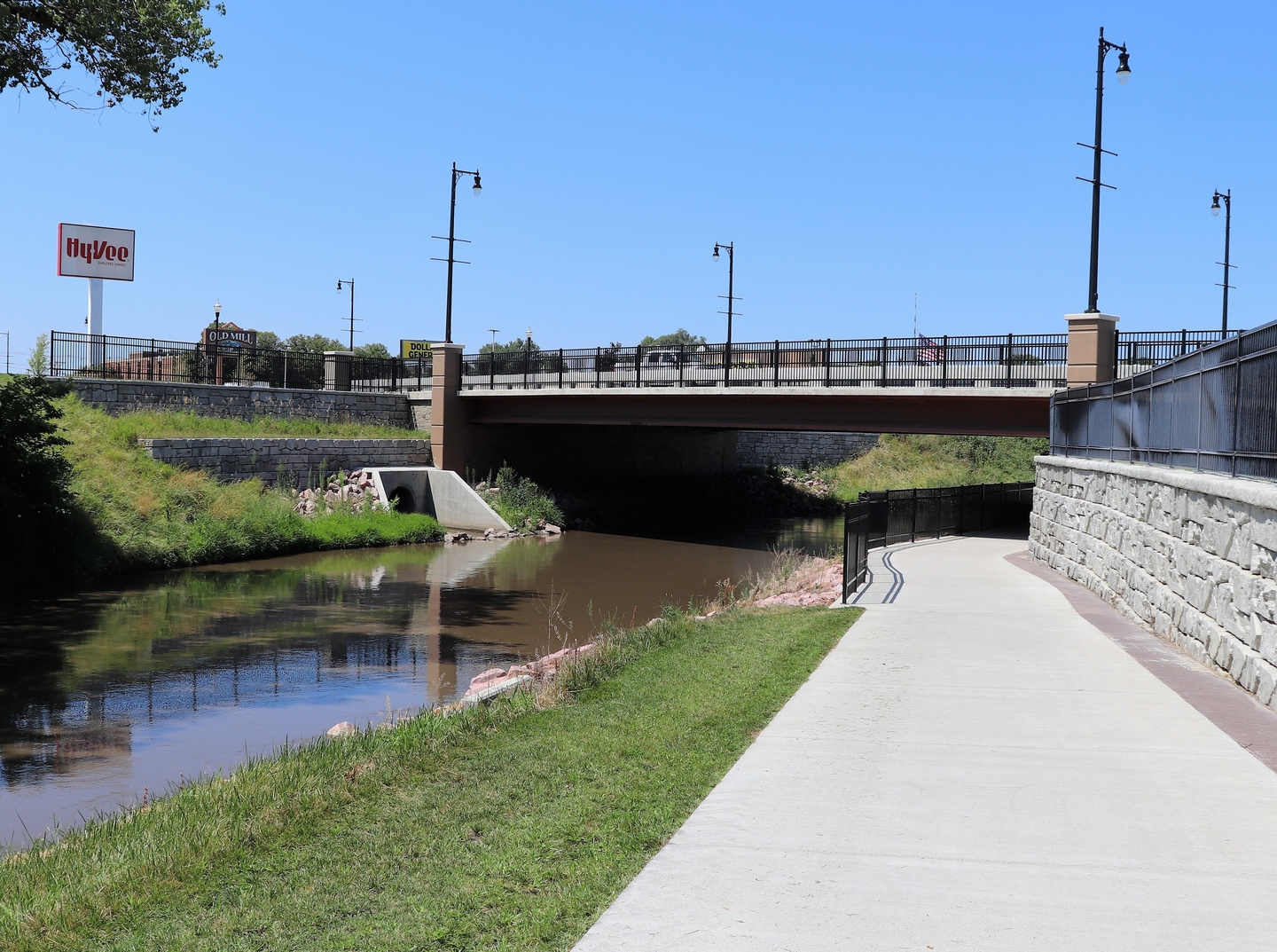
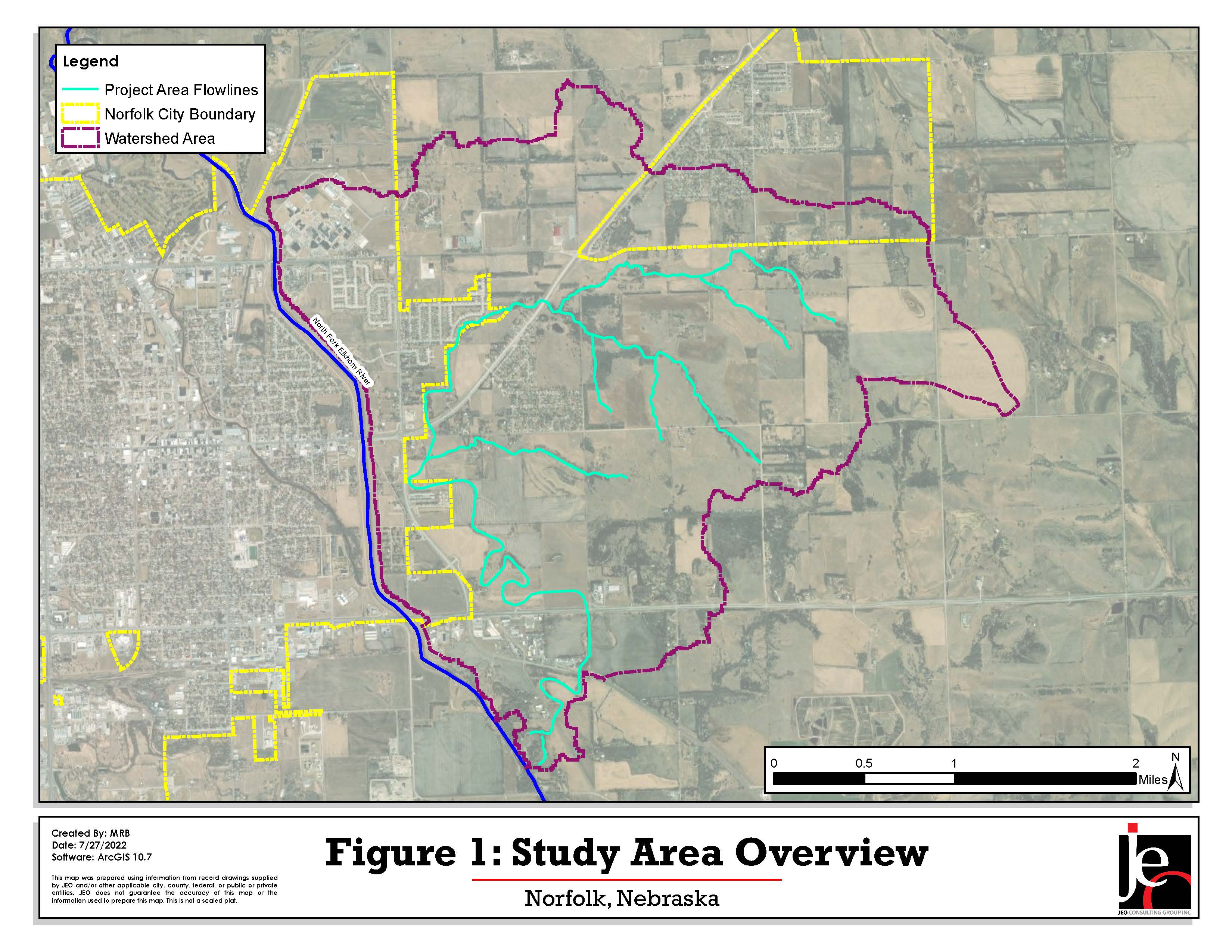
The City of Norfolk, located in northeast Madison County, is looking to evaluate a section of area on the east side of the city, just east of the confluence of the Elkhorn River and North Fork Elkhorn River. This location is currently experiencing growth in multiple areas that are currently under development or will be developed in near future. However, this area has also seen flood damages from as recently as 2019 in which multiple roadways were overtopped with floodwaters and resulted in several properties being threatened. Due to this, the City desired to evaluate the area in order to develop potential improvement recommendations and guidelines for the project area. The following report explains the details of the hydrologic and hydraulics analysis to determine the proposed improvement recommendations. The overall location and approximate boundary of the watershed area is included below in Figure 1.
This Engineering Study is looking to provide recommended improvements and guidelines to reduce the flood risk potential, particularly in the future development areas. These improvements are based on the findings of the site visit conducted on May 10, 2021, alongside the developed hydrologic and hydraulic analysis. The site visit locations involved several areas that were identified in the early stages of the H&H analysis as potential areas of water ponding, as well as identified culvert structures for the water flow. Any deficiencies and flood risk areas that were determined from the analyses were then used to create several drainage improvement recommendations. The recommendations include possible administrative regulations that can be applied and conceptual construction improvements to offset the increased discharges from the future developments. This report outlines the recommended actions and provides conceptual projects, as well as potential funding sources, below.
Project Schedule:
NA
Project Funding:
50% of the funding for this study is provided by the LENRD.
Project Documents and Images:
East Drainage Evaluation Hydrologic and Hydraulic Analysis
Figure 6: Existing Conditions WSE Extents - Open Outlets
Figure 7: 10-Year Existing vs. Future WSC Extents - Open Outlets
Figure 8: 100-Year Existing vs. Future WSE Extents - Open Outlets
Figure 9: Existing Conditions WSE Extents - Closed Outlets
Figure 10: 10-Year Existing vs. Future WSE Extents - Closed Outlets
Figure 11: 100-Year Existing vs. Future WSE Extents - Closed Outlets
Figure 12: Proposed Structural Improvement Location and Sizing
Figure 13: Existing Conditions with Channel Improvement - Open Outlets
Contact for Further Information:
Anna Allen
Assistant City Engineer
402-844-2020